Location: Rushfeldt Waterfowl Production Area
Managed by: Detroit Lakes Wetland Management District
Management Address
26624 N. Tower Road
Detroit Lakes MN 56501-7959
This site is situated between a woods to the north and a shelterbelt to the south. The primary shooting lane is to the northeast looking downhill towards a spillway. It was developed for deer hunters primarily but could be used to observe nature as well. Visitors are asked to contact the U.S.F.W.S. to obtain a permit at no cost (218) 847-4431. Detroit Lakes Wetland Management District is located in northwest Minnesota and includes the counties of Becker, Clay, Mahnomen, Norman, and Polk - an area of approximately 6,000 square miles. The district is divided into three general landscape areas, roughly equal in size. From west to east, these are: the Red River Valley floodplain, the glacial moraine/prairie pothole region, and the hardwood/coniferous forest.
Description
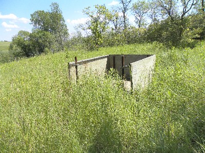
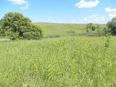
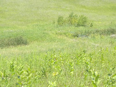
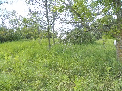
This ground stand is of plywood construction and gives a hunter protection from the elements on three sides. The deck is also plywood. Users may want to bring a tarp to place across the entrance for further protection. People who use wheelchairs will have to drive as close as possible to the stand in order to enter it because there is no accessible path of travel leading to the stand. The stand is placed on a hillside and overlooks a great deal of stream bed and water gate which is lower in elevation before rising up in elevation on the other side. Views in other directions are more restrictive due to trees and lay of land. Except for the occasional clump of trees and brush the area is slew, lakes, bull rushes, and prairie grasses.
The trail leading to the stand goes through the prairie and posed no problem to a two wheel drive vehicle with high ground clearance. This area is very remote once in the stand with very limited cell phone coverage so people are advised to inform others of your destination with a check in time so that they can call for help in case you do not check in. This site is not visited very frequently by any USFWS staff nor can it be seen from the road so it is doubtful anyone would see a person trying to get help.
The USFWS staff would like visitors to request a Special Use Permit prior to accessing the stand so you will have to call (218) 847-4431 or visit the office in Detroit Lakes.
Location Info » For directions, click the marker in the map. »
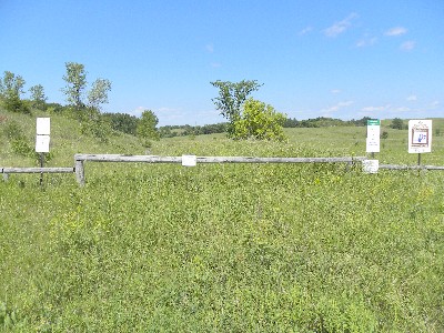
From the crossing of Hwy 10 and Hwy 32 travel a mile and one half to county gravel road 28 Ave S. The beginning of the road will be wooded on both sides followed by prairie once the prairie starts look for a fenced parking area with a log gate, this will be the access point for the stand. Follow the trail next to a slew and up a hill to the stand located within the tree break.
Amenities
The closest city is Hawley approximately 5 miles where visitors can purchase goods and services.
Lodging
Lodging can be found at various locations situated along Hwy 10 including the closest town of Hawley, MN.
